
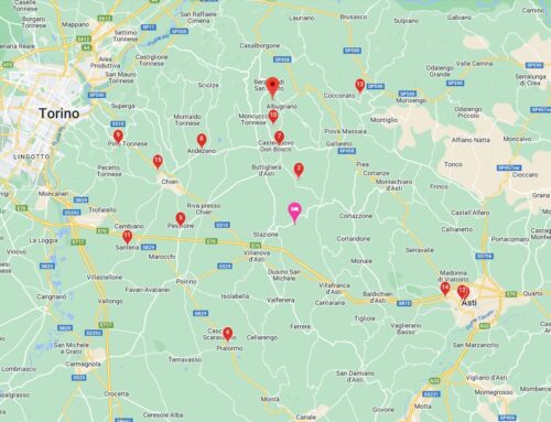
TOUR PLANNER APP
Bike Tour and Outdoor activities with our geo-localized digital guide in the most beautiful routes of Monferrato.
Thanks to the downloadable App for iOS and Android you can plan the tour departing from the Saint Paul Relais, with the possibility of choosing the route to do with your group of friends or with your partner according to your preferences.
The App allows you to create specific itineraries based on your activity (racing bike, gravel, mtb, trekking and much more) and to navigate via smartphone or compatible device.
To start using the platform you need to create an account (quick and easy operation).
Each user, at the time of registration, has the possibility to unlock the maps of a territorial area for free and connect their account with other platforms, such as Garmin Connect.
If you just want to plan and export gpx tracks you can do it for free, but if you want to use the navigation, even in offline mode, you need to buy the maps directly from the App. Each map purchased will be at your disposal forever and will be updated regularly.
PLANNING
With the App you can customize the creation of the itinerary based on the type of bike used (racing bike, gravel, mtb) and your level of training.
The planning algorithm, therefore, will develop a different itinerary based on the information provided before starting.
For the racing bike, he will avoid dirt roads and (basically) busy roads, while for those who insert a low level of training, he will try not to insert too demanding slopes, just to give a few examples.
If you use compatible cycling devices, such as Wahoo and Garmin, and you have activated the synchronization, you will find all the planned routes also within your device, ready to be navigated.
NAVIGATION
Navigation is one of the pluses of the App.
You can navigate both via smartphone and via device, but in our opinion the smartphone offers a better experience, thanks to the larger display, the guide voice that indicates the turns (exactly like a navigator) and the “route recalculation” function ”In the event of an error or deviation.
To navigate it is not necessary to have a data connection, since by choosing the offline mode the maps and all the information relating to the route are downloaded before departure.
An important added value, which allows you to save battery and take advantage of navigation even in areas where there is no network.
Obviously, the data connection is necessary to synchronize with the smartphone or device you will use for navigation.
APP PER ITINERARI
L’App permette di creare itinerari specifici in base alla propria attività (bici da corsa, gravel, mtb, trekking e molto altro) e di navigare tramite smartphone o device compatibili.
Per iniziare ad usare la piattaforma è necessario creare un account (operazione semplice e veloce).
Ogni utente, al momento della registrazione, ha la possibilità di sbloccare gratuitamente le mappe di un’area territoriale e connettere il proprio account con altre piattaforme, come ad esempio Garmin Connect.
Se vuoi solo pianificare ed esportare tracce gpx potrete farlo gratuitamente, ma se volete usufruire della navigazione, anche in modalità off line, è necessario acquistare le mappe direttamente dall’App. Ogni mappa acquistata sarà a vostra disposizione per sempre e sarà aggiornata con regolarità.
PIANIFICAZIONE
Con l’App puoi personalizzare la creazione dell’itinerario in base alla tipologia di bici utilizzata (bici da corsa, gravel, mtb) e al tuo livello di allenamento.
L’algoritmo di pianificazione, dunque, svilupperà un itinerario diverso in base alle informazioni fornite prima di iniziare.
Per la bici da corsa eviterà gli sterrati e (tendenzialmente) le strade trafficate, mentre per chi inserisce un livello di allenamento basso, cercherà di non inserire pendenze troppo impegnative, solo per fare alcuni esempi.
Se utilizzate device per il ciclismo compatibili, come Wahoo e Garmin, e avete attivato la sincronizzazione, troverete tutti i percorsi pianificati anche all’interno del vostro dispositivo, pronti ad essere navigati.
NAVIGAZIONE
La navigazione è uno dei plus dell’App.
Si può navigare sia tramite smartphone che tramite device, ma lo smartphone offre a nostro avviso un’esperienza migliore, in virtù del display di dimensioni maggiori, della voce guida che indica le svolte (esattamente come un navigatore) e della funzione di “ricalcolo percorso” in caso di errore o deviazione.
Per navigare non è necessario avere una connessione dati, poiché scegliendo la modalità off line le mappe e tutte le informazioni relative al percorso vengono scaricate prima della partenza.
Un valore aggiunto importante, che permette di risparmiare batteria e di usufruire della navigazione anche in zone in cui non c’è rete.
Ovviamente, la connessione dati è necessaria per effettuare la sincronizzazione con lo smartphone o con il device che utilizzerete per la navigazione.
Download Link For iOS
Download Link For Android


